OUR EQUIPMENT
TRIMBLE TX8 – 3D LASER SCANNER
The Trimble TX8 3D scanner delivers the power and flexibility to tackle even the most demanding projects. Designed for performance, the Trimble TX8 enables you to complete 3D laser scanning projects faster than ever.
- 1 million points per second with no compromise on scan quality or range
- Typical high density scan time of only 3 minutes
- Integrated HDR camera to colourise scans
- Integrated WLAN for remote operation from any mobile device
- Robust design with IP 54 rating for demanding environments
Data from the Trimble TX8 loads directly into Trimble RealWorks and Trimble Scan Explorer software for automatic scan colourisation and registration.
The Trimble TX8 paired with RealWorks also provides efficient data flow into popular CAD programs such as Recap, AutoCAD, ArchiCAD, Revit and SkechUp.
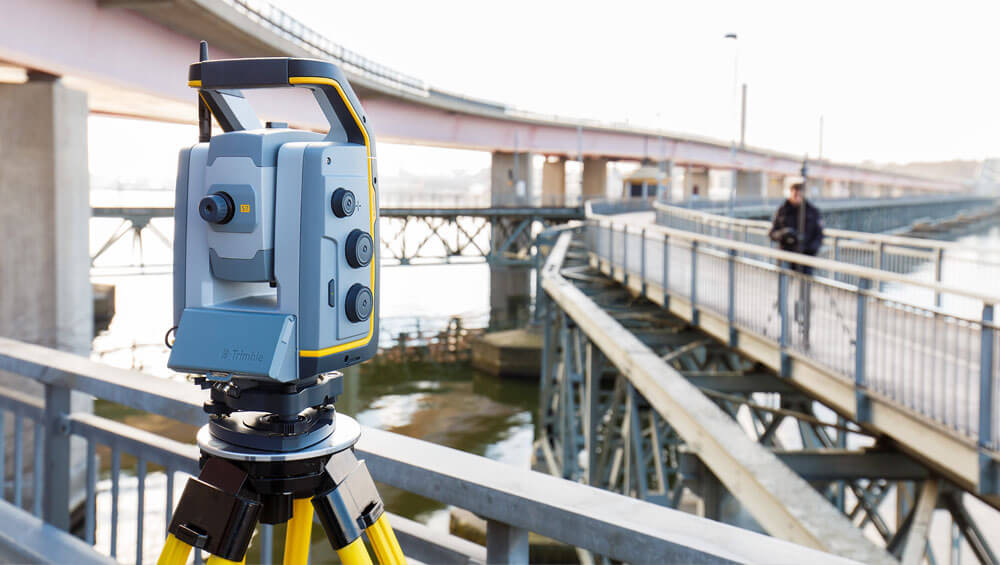
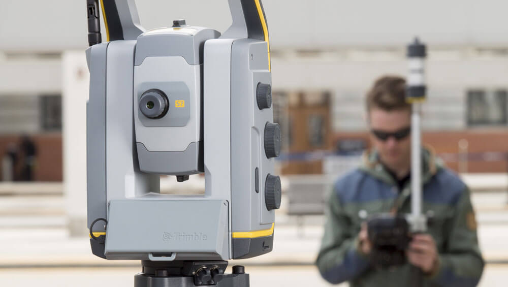
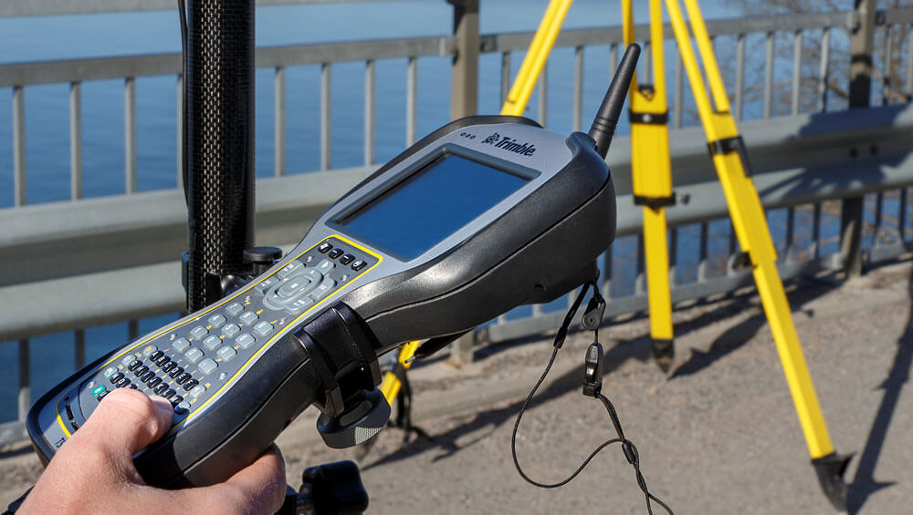
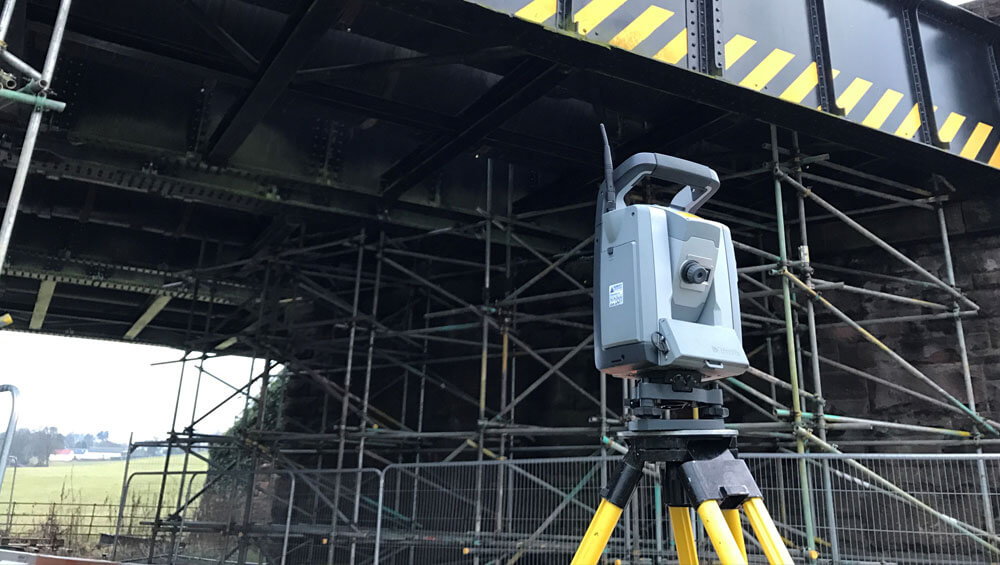
TRIMBLE S7 – TOTAL STATION
The Trimble S7 Total Station has been designed to create one innovative instrument that can perform all your data capture needs, incorporating scanning, imaging and surveying into one, thus eliminating the need for multiple instruments on the job site.
Using the Trimble S7 together with Trimble Access field software and Trimble Business Centre office software, users can create high accuracy topographical surveys, visual site documentation and much more. Collecting data has never been simpler due to features such as SureScan, Trimble VISION, FineLock and DR Plus Technology.
The Trimble S7 is the ultimate system for efficient surveying.
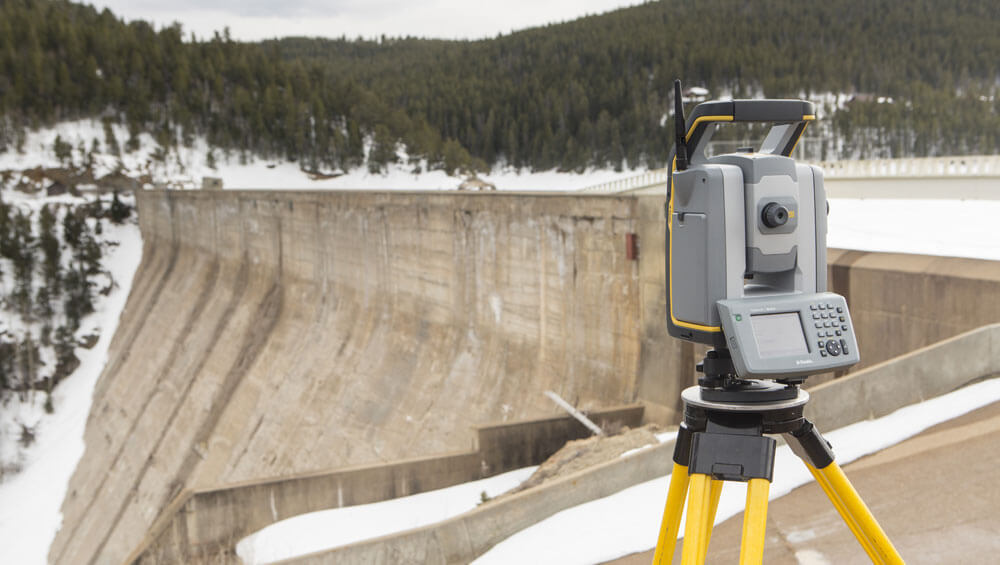
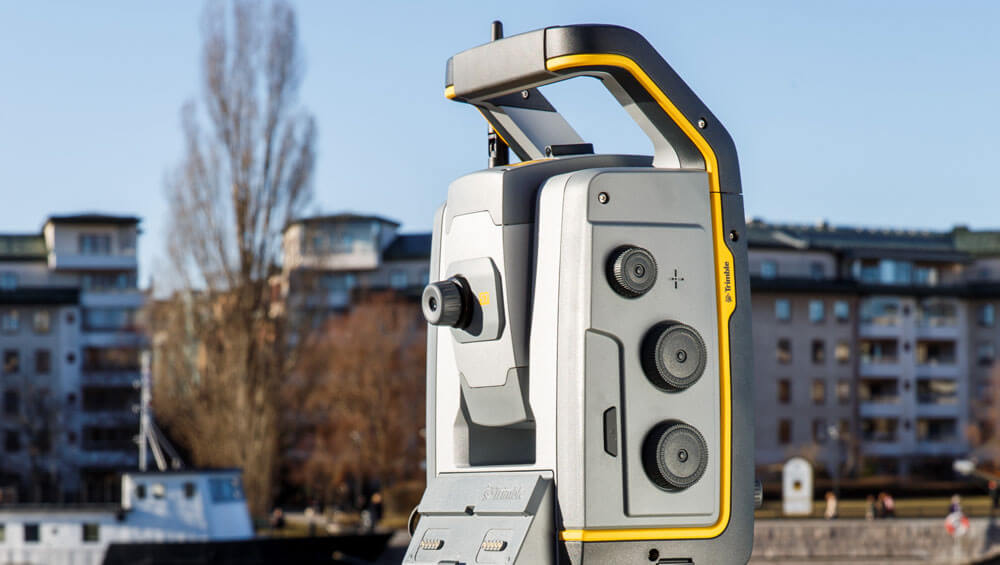
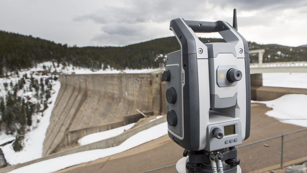
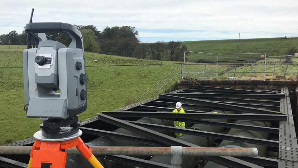
TRIMBLE S9 – TOTAL STATION
The Trimble S9 Total Station is the ultimate instrument for high precision surveys and precise monitoring. The S9 offers FineLock™ Technology which detects targets without interference from surrounding prisms within close quarters such as rail alignment, deformation monitoring and tunnel applications. The Trimble Long-Range FineLock option pushes this functionality to 2500m with 1 cm accuracy.
With 1? angular accuracy and EDM precision of 1 mm + 1 ppm, the Trimble S9 is equipped with unique features to support all high precision projects.
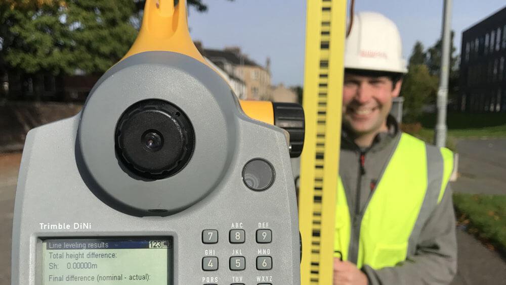
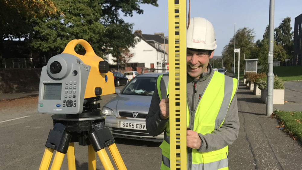
TRIMBLE DiNi – DIGITAL LEVEL
The Trimble DiNi Digital Level is a digital height measurement sensor designed for any job site where fast and accurate height determination is required. The 0.3mm variant that Sigma use has an accuracy of 0.3mm over a 1km double run.
Additional benefits include;
- Determine accurate height information 60% faster than with automatic levelling
- Eliminate errors and reduce rework with digital readings
- Transfer data to the office easily
The Trimble DiNi Digital Level is designed to support the rest of Trimble’s Integrated Surveying portfolio. The interface is based on Trimble’s other advanced and field-proven controllers for easy adoption of the instrument by your crews. Proven Optics by Carl Zeiss ensures the Trimble DiNi offers the highest precision and best resolution.

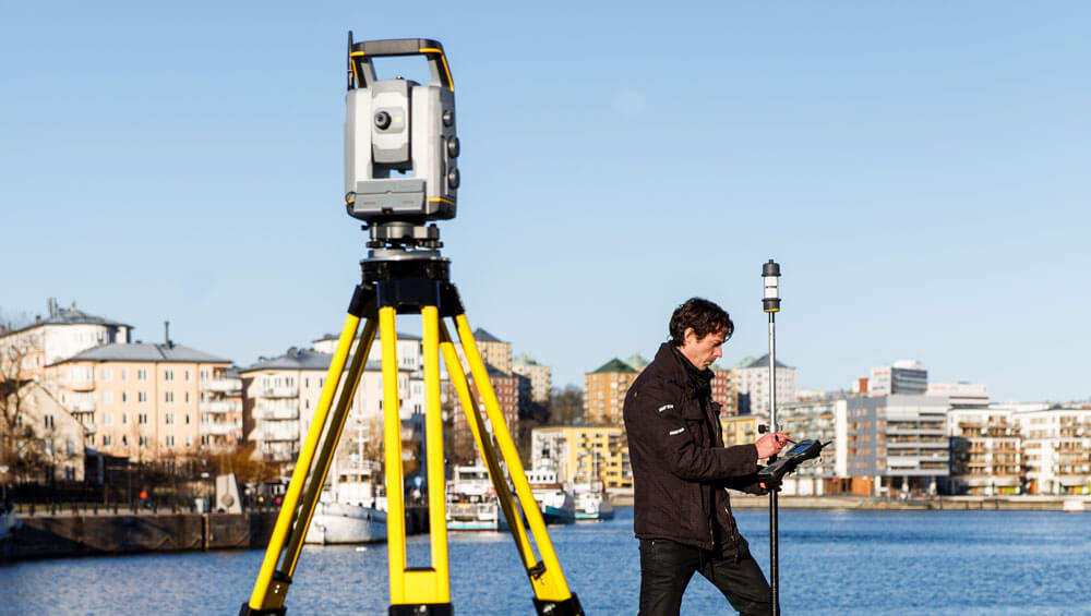
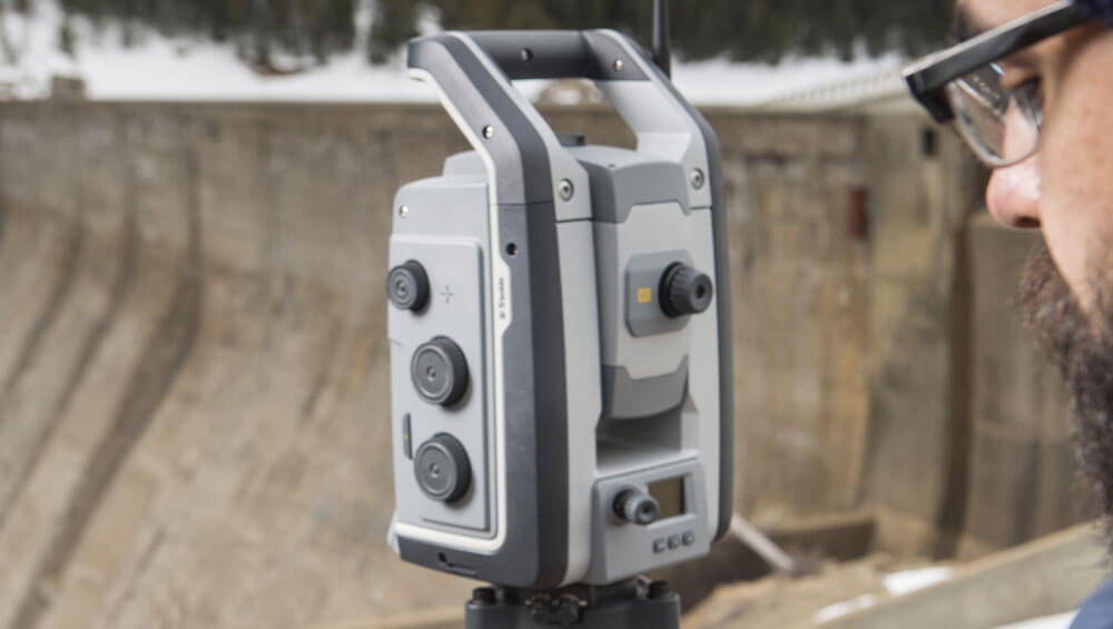
LEICA RTC360
The new Leica RTC360 laser scanner makes 3D reality capture faster than ever before. With a measuring rate of up to 2 million points per second and advanced HDR imaging system, the creation of coloured 3D point clouds can be completed in under two minutes. Plus, automated targetless field registration and the seamless, automated transfer of data from site to office reduce time spent in the field and further maximise productivity.
More information can be found here.
DJI UAVs
DJI INSPIRE 2 WITH ZENMUSE X5S CAMERA
Aimed at professional film makers, the Inspire 2 has a host of flight features aimed at high-end video production. These features ultimately allow us to model to a far higher accuracy within the survey industry. These features include:
- Improved Flight Autonomy with two directions of obstacle avoidance and sensor redundancy.
- Spotlight Pro flight mode for creating complex and dramatic shots.
- Dual band 2.4G and 5.8G video transmission up to 7km in HD 1080P/720P.
- Dual channel video transmission — simultaneously streaming video from an onboard FPV camera (for the pilot) and main camera (for the camera operator).
- CineCore 2.0 image processing system for recording 5.2K videos in CinemaDNG1, Apple ProRes2 and more.
- Compatible with DJI X4S and X5S camera gimbal systems.
- Redundancy (dual signal propulsion system, dual batteries, dual IMU, dual barometer).
- Obstacle avoidance (up to 30 meters at 54kmh / 25 degrees attitude angle).
- Master and slave controllers — for separate pilot and camera operator.
- Broadcast Mode — broadcast video on live TV by connecting the Inspire 2 remote controller to a satellite truck.
HYDRONE RCV
The HyDrone RCV is a remote controlled survey vessel working together with the HydroLite-TM echosounder to undertake bathymetric surveys of canals, reservoirs, rivers, and lochs.
The HyDrone RCV utilises Trimble R10 GNSS receivers to pair with the onboard echosounder (via Bluetooth) to add depths onto the OS coordinates, enabling the team to accurately map the surface and calculate Digital Surface Models (DSM’s) and volumes.
OUR SOFTWARE
Pix4D SOFTWARE
Pix4D is a suite of software products that use photogrammetry and computer vision algorithms to transform both RGB and multispectral images into 3D maps and models.
Pix4D Mapper is the leading photogrammetry software automatically converting images taken by our DJI drones into precise, georeferenced 2D maps and 3D models.
Using high percentage overlapping images and cm grade accuracy from Trimble GNSS receivers, we can produce highly accurate datasets for use within Architecture and Surveying industries.
FARO ‘AS BUILT’ SOFTWARE
FARO As-Built delivers innovative and profitable tools for complete and efficient conversion of reality capture data into parametric models for AutoCAD Software or Autodesk Revit design tools.
The software can be utilised in many applications such as;
ARCHITECTURE
• Creation of 2D floorplans, roof plans, profiles / sections and elevations
• Facade documentation / stone detailing
• Creation of BIM models (Scan-To-BIM)
• Clash detection
BUILDING CONSTRUCTION
• Deformation analysis of building elements (floors / bulging walls etc.)
INFRASTRUCTURE
• Creation of roadway cross sections
• Volume measurements
• Surface analysis
MBS SURVEY SOFTWARE
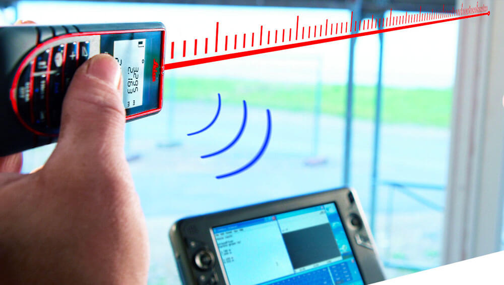
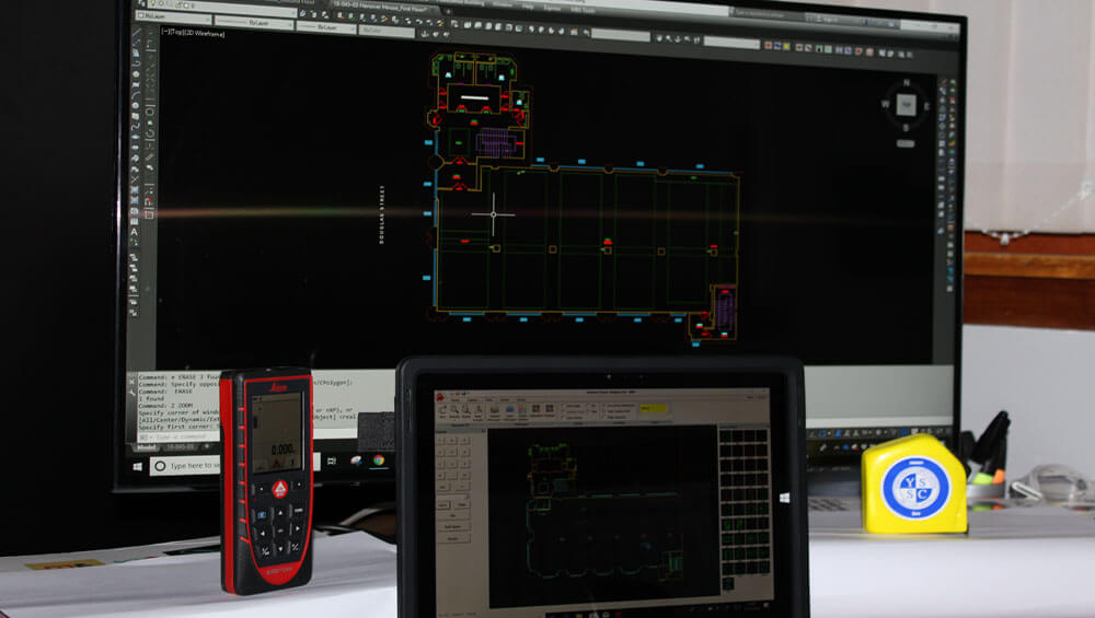
MBS survey software enables our surveyors to collate real time measurements within a building to generate accurate and detailed floor plans. Using Leica Disto’s (connected via Bluetooth), the software enables our surveyors to accurately plot all wall locations and includes an extensive library of symbols to plot whilst in each room.
The software identifies any wall misclosures whilst in each room, enabling the surveyor to ascertain what control measurements are required to meet the accuracy requirements of the project. This enables our surveyors to quality check and leave site with confidence that all measurements will fit when producing final drawings.

TRIMBLE 4D CONTROL:
REALTIME MONITORING
T4D Control is a cloud based software application designed for surveyors and engineers to perform monitoring of movement over time without the need to integrate directly with onsite hardware and sensors.
Trimble 4D Control can be used to meet monitoring needs of installations on dams, bridges, mines, landslides, buildings and other natural and man-made hazards or structures using sensors to monitor for movement or deformation. Data can be integrated from a wide range of Trimble sensors. The data can be visualised on a variety of interactive charts and scatter plots with alarms being triggered if movement exceeds a certain tolerance.
